Eugene residents share energy and water saving tips
From blocking a draft to replacing your heating system, each action you take can save water and electricity.

From blocking a draft to replacing your heating system, each action you take can save water and electricity.

Eugene is experiencing some of the coldest temperatures we've seen this winter. When temperatures drop into the 20s, heating systems must work much harder to keep homes warm. Even if you leave your thermostat untouched, your heating system will consume more energy to maintain a steady indoor temperature as the outdoor temperature plummets.

EWEB’s budget is less than initially projected while still addressing aging infrastructure and rising costs to ensure reliable utility services for Eugene.

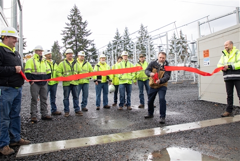
After two years of rebuilding the substation, EWEB honors the Currin Substation with a ribbon-cutting.

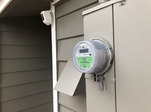
Automatic move-in service order processing makes signing up for electric service easy for UO students and the entire Eugene community, while keeping utility vehicles off the road and lowering carbon emissions.