A new $7.5 million federal grant will help EWEB and partners protect water quality on the McKenzie River by restoring the natural functions of one of the river’s major tributaries, Quartz Creek.
The mainstem of Quartz Creek suffered habitat loss and degradation due to decades of adjacent logging and roads narrowing its footprint, constricting the creek into a single channel with a “fire hose effect” that erodes the creek and sends turbid water straight into the McKenzie.
The National Oceanic and Atmospheric Administration (NOAA) grant for the Quartz Creek Floodplain Enhancement Project will allow EWEB and partners – working through the McKenzie Watershed Alliance* – to widen the floodplain and slow the flow of Quartz Creek. This will curtail the fire hose effect and allow sediments to drop out of the water, reducing the amount of contaminants that reach the mainstem of the McKenzie River.
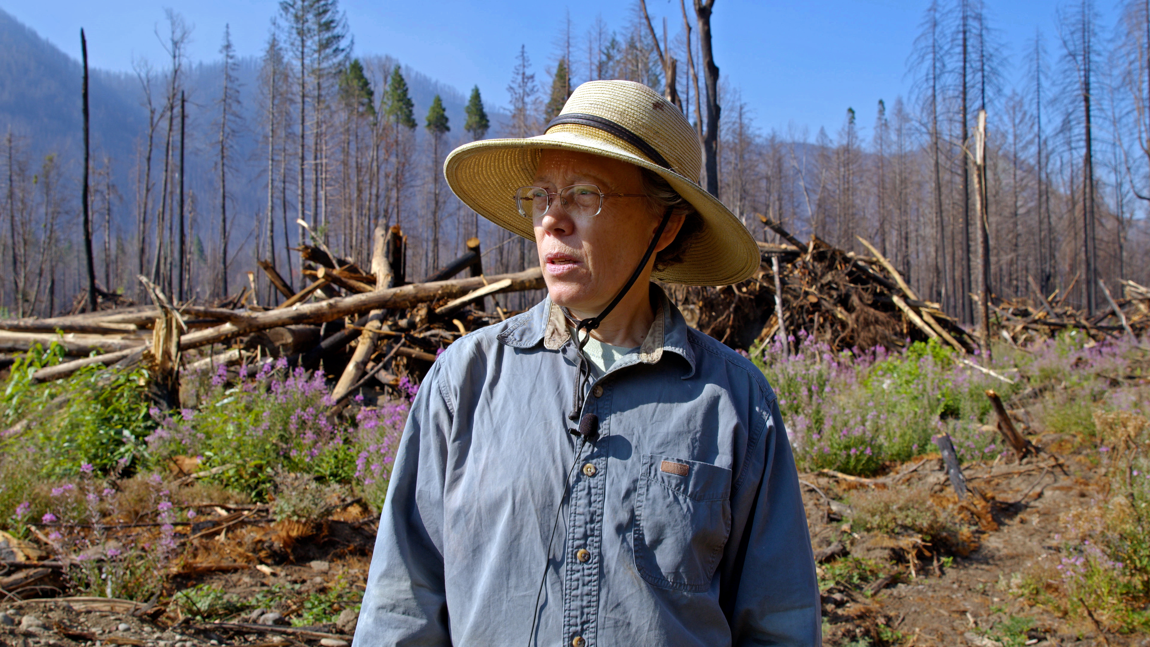
Restoring these natural functions of Quartz Creek will improve the river’s resiliency to natural disasters, says EWEB Water Resources Supervisor Susan Fricke. “We need to build resiliency within our landscape,” Fricke said. “Climate change is causing more extreme heat events and droughts, while debris torrents are coming from watersheds impacted by wildfire and logging. At the same time, we’re also at risk for future flooding.”
“We can increase that resiliency when we let the whole ecosystem function as it's supposed to,” Fricke added. “We can take our channels and let them function as big floodplains, we can have creeks, tributaries, and rivers meander across the floodplain. When we do that, we enhance water quality, which makes it easier for us to treat the water downriver as well.”
The McKenzie River is the sole source of drinking water for 200,000 people in the Eugene area. Along with the drinking water quality benefits, NOAA is interested in the project because it will improve habitat for spring Chinook salmon.
“NOAA is proud to be supporting this crucial work to restore this important habitat for spring Chinook in the Willamette Basin,” said Carrie Selberg Robinson, director of the NOAA Fisheries Office of Habitat Conservation. “This project will also help provide protection from fire, flooding, and climate impacts.”
Some of the funds will help the Forest Service replace a bridge across Quartz Creek with a longer one, allowing for a wider floodplain. Most of the grant will help project managers to place nearly 200,000 cubic yards of fill material and 6,000 logs in the floodplain to implement the restored floodplain structure.
“This funding will go a long way in making our communities and ecosystems more resilient,” said Congresswoman Val Hoyle (OR-04) in a press release.
Quartz Creek meets the McKenzie River downstream of Finn Rock Boat Landing. Together with the nearby Finn Rock Reach Floodplain Enhancement Project, the Quartz Creek Project will help form a landscape-scale restoration area in the middle McKenzie.
Implementation for the Quartz Creek Project will begin this fall and is planned for completion by Fall 2024.
*The McKenzie Watershed Alliance is the administrative arm of the McKenzie Watershed Council. The McKenzie Watershed Council, McKenzie River Trust, U.S. Forest Service Willamette National Forest District and EWEB are the principal partners on the project.


